In 2012 Fugro LADS spent about six months surveying the rugged Brittany coastline, completing what was the largest LIDAR survey ever done by anyone, until we surpassed that with our 2014-2016 Saudi Arabia survey.
The Brittany coastline is littered with shoals (shallow areas), rising and falling precipitously, creating small dangerous areas in water that is otherwise too deep to survey and appears safe to navigate but isn’t. Further, these rocky shoals were often coated with a black slime which has a great tendency to absorb laser wavelengths, reducing the ability of LIDAR systems to detect them even at quite shallow depths. In these situations, the extremely high laser power of the Fugro LIDAR system was invaluable, making it possible to get returns off black rocks which any other LIDAR system would have missed.
We were also asked to survey over a sensitive military establishment with the capability to dock nuclear submarines. On these flights, we had some French military personnel on board, and at the end of the sortie they collected the data and took it to a processing facility in one of their secure locations. There, the data was processed by French hydrographic surveyors with the appropriate security clearances, on a ground processing system which I had built, and setup for them.
In addition to the difficult weather, and the black rocks, we had some issues with our equipment being damaged in transit to and from this survey, see 2012-02 France Survey Server Damage
For most of this survey, we were working out of Brest, though we did head over to Marseille for a short while. I was also able to explore a bit of Paris – visiting Montmartre, the Salvador Dali museum, and the Louvre.
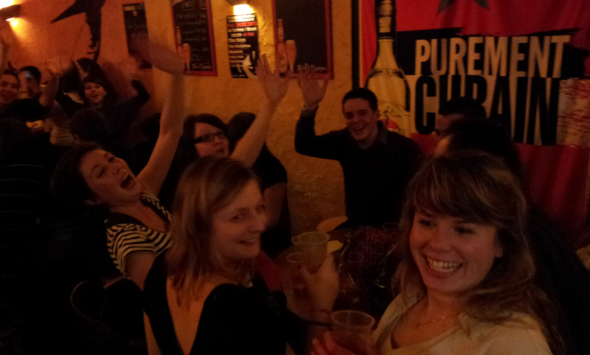
Brest, in Brittany, is a nice town with some great pubs & friendly people:


Paris, including the view from Montmartre:


Salvador Dali Museum:
Gallery – Salvador Dali Museum
The Louvre:
Gallery – The Louvre